Aerial Mapping
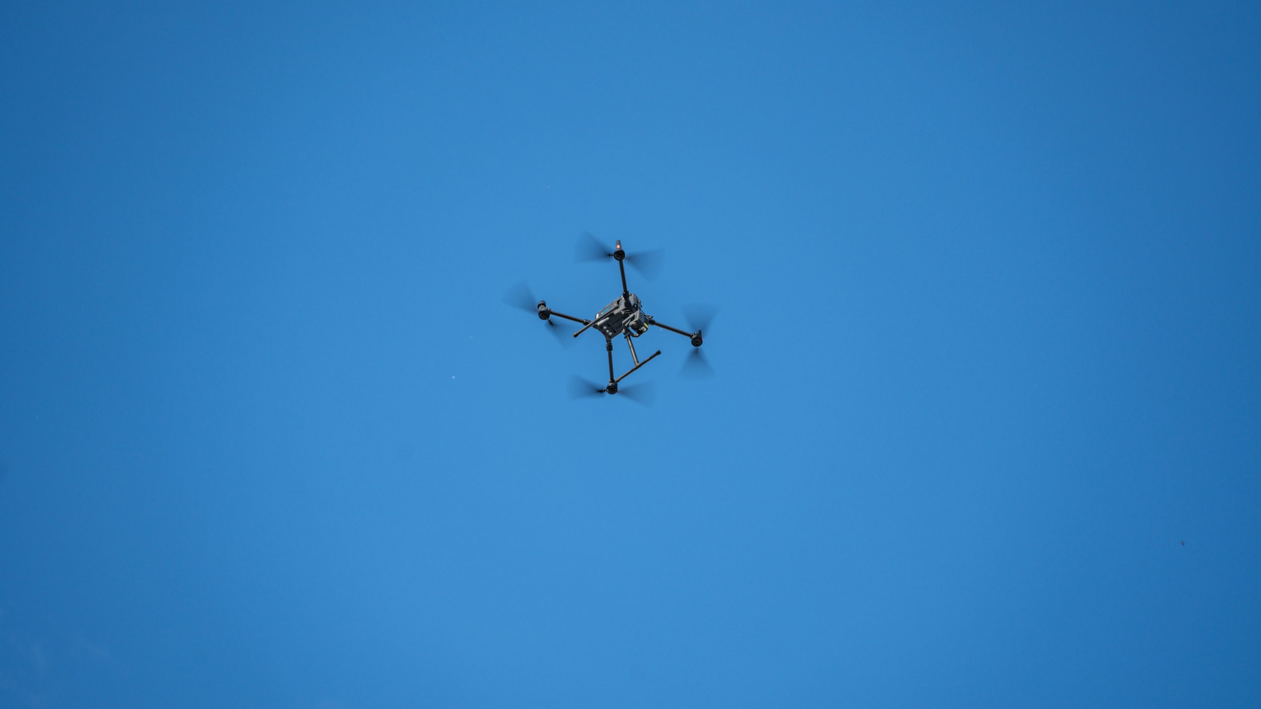
NZ Drones specialize in capturing high definition aerial footage. Drone inspections are great for collecting information, including asset condition assessment, surrounding environmental management and routine maintenance inspections as it is fast, cost-effective, safe and reliable. We will work with you to fully understand the footage required and use our experience to find the solution that best suits each scene needed.

GPS REFERENCE DSM/ORTHOMOSAIC IMAGES
When Google Maps just don't have enough resolution or the area you require is not up to date, this is for you. An Orthomosaic is a collection of aerial photographs stitched and geometrically corrected such that the scale is uniform: the resulting image has the same lack of distortion as a map. Unlike an uncorrected aerial photograph, an Orthophotograph can be used to measure true distances. It accurately represents the Earth’s surface, having been adjusted for topographic relief, lens distortion, and camera tilt.

PRECISION AGRICULTURE
NZ Drones can survey large areas of agriculture in great detail using our UAV’s. We are capable of creating a high-resolution analysis of vegetation and crop health. Utilising this service can allow for a much better understanding of managing your resources in the field, which results in many cost-saving benefits and higher plant yields.
FORESTRY
Unmanned Aerial Mapping is a fantastic way to collect mass data of your project within a short period of time and is the most cost-effective way.
Utilizing High-Resolution RGB Cameras to elevate your perspective on your asset, whether for Harvesting or your site operation's management.
Vegetation Health Surveys
Identification of specific areas of interest
Update of progress report
Roading infrastructure on site.
Planning


TRANSPORT
Roading and railways - Aerial Mapping of Road layouts and construction projects High-Resolution aerial imagery captured from above for surveying and planning of proposed roading or paths

LAND DEVELOPMENT PROCESS
Capture a Birdseye view of your development - this can be great for capturing progress or generating a report of your up coming subdivision
Output Formats Include:
AERIAL MAPPING APPLICATIONS:
- Roof inspections
- Search and rescue
- Fire monitoring
- Residential and commercial energy (heat loss) solutions
- Pest control/animal location
- Powerline inspections
- Solar panel inspection
- Law enforcement
Point Cloud: LAS, LAZ, PLY, XYZ
3D Textured Mesh: PLY, FBX, DXF, OBJ, Zipped OBJ, 3D PDF
Orthomosaic: GeoTIFF, Google Maps Tiles, KML, Mapbox Tiles
Raster DSM: GeoTiFF
Grid DSM: XYZ, LAS, LAZ
Contour Lines: SHP, PDF, DXF
Reflectance Map: GeoTiff
Variable Rate Prescription Map: SHP
MEASUREMENTS
We are able to make 2D/3D measurements for any purpose with accuracies in line with the client’s needs.